


Mukono District — The district local government has intensified efforts to promote organized and sustainable urban development through the implementation of Detailed Physical Development Plans under the Greater Kampala Metropolitan Area Urban Development Programme (GKMA-UDP).


The ongoing planning exercise is focusing on Nama Sub-county, Nakisunga Sub-county, and Kyampisi Sub-county, where district leaders, technical teams, and community stakeholders are working together to shape future land use, infrastructure development, and environmental protection.
District officials revealed that ten parishes in Nama and Nakisunga sub-counties were selected for the preparation of draft physical development plans, while eight parishes in Kyampisi Sub-county were also identified under the district’s broader strategy aimed at improving service delivery and ensuring orderly urban growth.
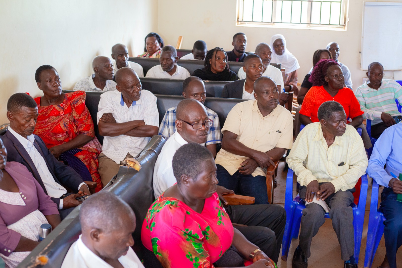
The engagements brought together local leaders, parish chiefs, councillors, technical staff, and community stakeholders to deliberate on sustainable land use planning, settlement patterns, infrastructure development, and management of public resources in rapidly urbanizing communities.
Speaking during the engagements, Mukono District Physical Planner Kamoga Amuza cautioned local leaders against approving and signing sub-standard land agreements that fail to provide proper road access and do not comply with physical planning regulations.
He warned that poor land subdivision practices continue to fuel illegal developments, land disputes, congestion, and unplanned settlements that threaten sustainable urban growth.
In Nama Sub-county, leaders and stakeholders reviewed the Draft Physical Development Plan report intended to guide future growth and transformation of the area. Kamoga noted that the district envisions Nama as a future industrial and transportation hub because of its strategic location along the Kampala–Jinja Highway corridor.
He explained that rapid population growth and urbanization require proper planning to prevent disorderly settlements and infrastructure challenges.
Under the proposed plans, all land plots will be required to have proper right of way to reduce land conflicts and improve accessibility. Kamoga urged LC I Chairpersons to stop approving sub-standard plots that do not meet planning standards, warning that such practices contribute to slum development and poor infrastructure coordination.
He also encouraged landowners to utilize land in accordance with provisions of the Land Act.
Kamoga further disclosed that implementation of the physical development plans will soon commence in the selected parishes, focusing on land demarcation, infrastructure installation, road development, and enforcement of building regulations.
He revealed that the district will begin opening community roads in Nama Sub-county to improve accessibility and encourage organized settlement patterns.
The physical planner also emphasized the importance of proper legal documentation for land donated for public institutions such as schools, churches, and health facilities, noting that the absence of formal documentation often results in disputes between beneficiaries and relatives after the death of original donors.
He called upon parish chiefs to take firm action against landlords encroaching on road reserves, wetlands, and public land.
Nama Sub-county Community Development Officer Margret Kizza commended local leaders for participating in the planning discussions and urged them to continue mobilizing communities to embrace government development programmes.
Earlier, leaders and stakeholders in Nakisunga Sub-county also convened for a similar engagement on the Detailed Physical Development Plan. Local leaders applauded the GKMA-UDP team and district technical staff for supporting the planning process and called for stronger collaboration among stakeholders.
District planners highlighted Nakisunga’s growing strategic importance due to major infrastructure projects, including the Standard Gauge Railway, the Jinja Express Highway, the Kigombya–Namuyenje Road, and Katosi Road.
However, officials acknowledged persistent challenges such as land-use conflicts, environmental degradation, illegal developments, and encroachment on wetlands and road reserves.
Meanwhile, in Kyampisi Sub-county, district officials continued advancing detailed physical planning activities aimed at preparing the area for future growth and development.
The sub-county, known for its fertile agricultural land, tourism potential, strategic transport links, and industrial opportunities, has been identified as one of the key growth centres in Mukono District.
Kyampisi Sub-county Chief Harriet Namatovu Luzira thanked local leaders for attending the engagements in large numbers and urged them to sensitize communities about the importance of embracing development planning programmes.
Representing the District Planner, Patrick Balironda said Kyampisi presents significant opportunities, including agricultural expansion, industrial development around Kalagala, and availability of land for future infrastructure projects.
He, however, acknowledged challenges including land tenure conflicts, ecological sensitivity, built-up settlements, and political interference in development processes.
Officials emphasized that a Detailed Physical Development Plan is a site-specific planning tool designed to guide land use and development within a particular area while ensuring balanced growth, infrastructure coordination, and environmental sustainability.
Through the ongoing planning process under GKMA-UDP, Mukono District is laying a strong foundation for organized urban growth, sustainable land use, and improved service delivery across its rapidly developing communities.
District leaders have called upon local leaders, landowners, and residents to cooperate fully with the planning process, comply with physical planning regulations, and protect public resources for future generations.


